Ivey says be prepared for hurricane season
Published 12:00 am Wednesday, June 3, 2020
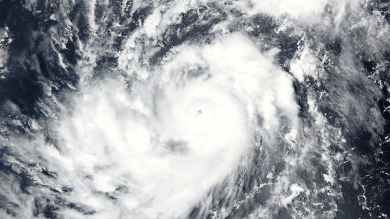
- Hurricane season began June 1.
|
Getting your Trinity Audio player ready...
|
Hurricane season is now officially underway. Releasing a statement on Mon., Gov. Kay Ivey encouraged all citizens to get prepared now.
“June 1 marks the first day of hurricane season, and as we know, Alabama is far too familiar with the uncertainty and damage that accompanies any severe weather. The National Weather Service is predicting an above-normal 2020 Atlantic hurricane season, which runs now through November 30. As our country focuses on safely reopening our economy and combatting a health pandemic, it is also vitally important we remember to make preparations now for any severe weather, because hurricanes, tornadoes and severe weather will not wait for us to be ready. Hurricane preparedness must still be a focus for every Alabamian,” said Ivey.
Along with the National Weather Service, AccuWeather says the upcoming season will be an above average season.
Based on the newest forecasting models, AccuWeather forecasters have extended the upper range of hurricanes predicted for the Atlantic hurricane season. The hurricane team, led by Dan Kottlowski, the company’s top hurricane expert, is now predicting 14 to 20 tropical storms, with additions also to the number of storms that become hurricanes: seven to 11 this season.
Kottlowski also increased the number of major hurricanes – Category 3 or higher – that could develop this season to four to six. Kottlowski warned that four to six named tropical systems could make direct impacts on the U.S mainland, Puerto Rico and the Virgin Islands.
The initial 2020 Atlantic hurricane forecast was released in late March and called for 14 to 18 named tropical storms, seven to nine hurricanes and two to four major hurricanes.
“New climate model runs show a trend toward La Niña evolving during the second half of the upcoming summer,” said AccuWeather Senior Meteorologist Dan Kottlowski, the company’s top hurricane expert. “This would suggest a decrease in the episodes of vertical wind shear, which can limit tropical development and intensification.
“This new information gives us more confidence of the potential – again, still potential – for a very active season,” Kottlowski said.
Wind shear is the phenomenon in which wind speed or direction changes with altitude. It can cause the higher parts of a hurricane or storm to be tilted in the opposite direction of where the storm or hurricane is moving.
La Niña, a pattern that influences weather factors and winds around the world, occurs when water temperatures in the central and equatorial Pacific are cooler than normal. Active hurricane seasons in the Atlantic can result when a La Niña pattern is present due to a general reduction in wind shear over parts of the Atlantic Ocean, including the central and western parts of the basin, which churn out a large majority of tropical systems.
The 2020 season follows four straight years during which there were at least two U.S.-landfalling hurricanes, with Barry and Dorian striking in 2019. That’s the longest streak since 1947-50 and only twice since 1851 has the streak reached at least five years (1932-36 and 1876-82).
The 2019 hurricane season included 10 tropical storms, two subtropical storms, two Category 1 hurricanes, one Category 2 hurricane and three major hurricanes.
“The biggest issue with this season is this trend going from a weak El Niño to a neutral pattern then to a possible La Niña,” Kottlowski said. “This climate signal pattern has been associated with above-normal seasons. The big question is just how active is it going to be?”